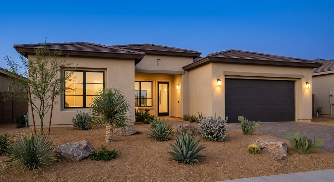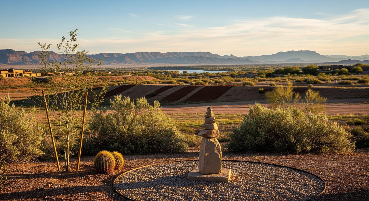
Shopping for land in Mohave Valley can feel exciting and overwhelming at the same time. You want a parcel that is buildable, financeable, and a smart long-term hold, but the desert brings unique wrinkles like washes, septic soils, and access rights. With the right questions and a clear checklist, you can spot red flags early and focus on solid lots. This guide walks you through a practical due diligence path tailored to Mohave Valley so you can move forward with confidence. Let’s dive in.
Quick pre-offer checklist
Before you write an offer, confirm these items:
- Verify APN, legal description, and owner of record through the county.
- Confirm recorded legal access and road maintenance status.
- Check electric location and extension path; confirm water source options.
- Confirm public sewer or septic feasibility; ask about perc requirements.
- Pull zoning, permitted uses, minimum lot size, and setbacks.
- Review flood maps and look for washes that cross the lot.
- Walk the site for topography, drainage, and visible easements.
- Order estimates for survey, utilities, grading, septic, and well.
Verify legal access
What to pull
Start with deed and parcel records. Use the Mohave County Assessor and Recorder to confirm the APN, chain of title, and any recorded easements or CC&Rs. If you want a quick snapshot of encumbrances, ask a title company for a preliminary title report. A report that lists access easements, utility easements, and liens will help you spot deal-killers early.
- Use the county’s records to research parcel data and recorded documents through the Mohave County Assessor and Recorder.
What to confirm
Ask: Is the road public or private? If it is private, is there a recorded access easement that touches a public right-of-way? Confirm who maintains the road, since maintenance affects year-round access and carrying costs. On site, check the road surface, drainage, and distance to a maintained road. Some driveway connections to public roads require county permits, so note where a driveway would likely go.
Common pitfalls
Unrecorded access that relies on handshake deals can derail financing and permits. Watch for recorded utility corridors that run through the middle of a small lot, since they can shrink your buildable area. If access is uncertain, make a recorded easement a contingency of your offer.
Confirm utilities
Electric
Identify the local electric utility and verify the distance to the nearest pole or transformer. Ask about line extension costs, design timelines, and any easement needs. Note whether the extension crosses another parcel, since that can trigger new easements or approvals.
Water options
Confirm if a public water provider serves the parcel. If not, plan for a private well. Review nearby well logs and aquifer depth before you budget for drilling. In Arizona, well permitting, well logs, and groundwater information are managed by the state. Start with the Arizona Department of Water Resources to review well records and permitting basics.
- If the lot ties to a district, ask for connection fees and meter set timelines.
- If drilling a well, ask local drillers for likely depth, yield, and cost ranges, then budget a contingency.
Sewer or septic
If public sewer is not available, expect septic. Mohave County Environmental Health reviews septic designs, setbacks, and soil tests. A perc test or soil evaluation is often required before final design. Confirm minimum lot sizes and separation from wells and property lines before you move ahead.
- Learn about septic permits and standards through Mohave County Environmental Health.
Gas and broadband
Natural gas is often unavailable in rural parts of Mohave County, so plan on propane if needed. For internet, check local ISPs and consider line-of-sight wireless or satellite. Verify service choices early if remote work is part of your plan.
Zoning, setbacks, and permitted uses
Pull the correct zoning designation, then verify permitted uses, minimum lot size, building height, and setback requirements. Also ask about overlay districts, floodplain rules, or special corridor plans that could apply. If your intended use is not permitted, discuss variances or conditional use permits and the timeline for public hearings.
- Start with Mohave County Community Development for zoning maps, codes, and permit guidance.
Topography, drainage, and washes
Slope and drainage drive site prep costs. Walk the lot and look for washes, erosion, and changes in elevation. A topo survey helps you plan cut and fill, retaining walls, and driveway grades. Steeper slopes or bedrock can increase foundation and grading costs and may require engineered walls.
- Use elevation and topo tools from the U.S. Geological Survey to understand terrain.
In the desert, ephemeral washes may not show up on basic maps. Even small arroyos can limit building locations or require special drainage design. Photograph washes and walk them after rain if possible.
Floodplains and FEMA mapping
Check FEMA Flood Insurance Rate Maps to see if any part of the parcel lies in a flood zone. If a structure would be in a mapped floodway or high-risk zone, you may need elevated construction or costly engineering. Floodplain placement can also affect insurance and lender requirements.
- Look up your parcel at the FEMA Flood Map Service Center and confirm details with the county floodplain administrator.
Soils, septic feasibility, and geotechnical
A soil evaluation or perc test will direct the type and size of septic system and whether alternatives are needed. For foundations, a geotechnical report can identify collapsible soils, expansive clays, or high groundwater. These findings guide your structural engineer and help you avoid costly surprises later.
- Septic reviews are handled by Mohave County Environmental Health.
Environmental and cultural checks
Some parcels may require reviews if federal or state resources are present. Look for protected species, cultural resources, or contamination history. Red flags include old mine workings, tailings, or seasonal wetlands that could fall under federal jurisdiction.
- For known contamination and cleanup records, search the Arizona Department of Environmental Quality.
- Review species lists and critical habitat maps at the U.S. Fish & Wildlife Service.
If you see potential cultural resources or unique features, consult the Arizona State Historic Preservation Office and environmental specialists before you proceed.
Entitlements, permits, and sequencing
Plan your process and budget your time. A typical pathway looks like this:
- Title and access: confirm recorded access and utility easements; resolve gaps early.
- Utilities: verify electric, water source, and sewer or septic path.
- Site studies: boundary and topo surveys, perc test, and geotechnical report.
- Design and approvals: septic design, grading and drainage, and site plan.
- Permits: submit building, septic, well, driveway, and any grading or floodplain permits as required.
- Construction: schedule utility extensions and site work once permits are in hand.
Expect timelines to vary. Title and parcel research can take days to weeks. Surveys often run 2 to 8 weeks. Septic approvals can take several weeks to months. Well permitting and drilling depend on depth and driller schedule. Simple building permits may take weeks to a few months if your plan conforms to zoning. Variances or conditional use permits can add several months or more due to public hearings.
Budget and ROI: what to estimate
Create a line-item budget before you commit. Local costs vary, so gather two to three quotes for each major item.
- Title, escrow, and a preliminary title report.
- Boundary or ALTA survey and a topo survey.
- Perc testing, septic design, and installation.
- Well permitting and drilling, pump, and testing if needed.
- Electric line extensions, transformer, and meter set.
- Propane tank and gas plumbing if no natural gas.
- Grading, retaining walls, foundation, and a driveway or culvert.
- Permit fees for building, septic, well, and any impact or connection fees.
- Environmental or geotechnical studies if required.
- Contingency for unexpected soils, rock, or easement issues.
Lenders view vacant land as higher risk and may require larger down payments and proof of buildability. Evidence of water, septic feasibility or sewer access, and legal access can be conditions for a construction loan. Flood zone status and title exceptions can also affect insurance and financing.
Red flags and how to respond
- No recorded access: Title insurance exceptions and permit issues are likely. Require a recorded easement before closing.
- No water service and poor well prospects: Review nearby well logs, talk to drillers, and budget conservative depths; explore district connections if feasible.
- FEMA floodplain or active wash crossing the lot: Obtain floodplain guidance, commission drainage studies, and consider elevating the structure or selecting another parcel.
- Major utility corridors across the building envelope: Order an ALTA survey and relocate the building footprint, or reconsider the lot.
- Significant slope or shallow bedrock: Get a geotechnical report and grading estimates before you commit.
- Environmental or cultural resources: Consult specialists early and budget time for surveys and possible mitigation.
Professionals to engage
- Title company and, for complex cases, a real estate attorney.
- Licensed surveyor for boundary and ALTA surveys; topo survey for design.
- Septic designer and Mohave County Environmental Health for reviews.
- Well driller and the Arizona Department of Water Resources for wells and groundwater info.
- Geotechnical engineer for soils and foundation recommendations.
- Civil engineer for grading, drainage, and utility design.
Your next steps in Mohave Valley
If a parcel checks out on access, water, septic, zoning, and flood, you are on the right track. Build your offer around key contingencies, including access confirmation, septic feasibility, and water source verification. Get firm quotes for utility extensions and site work so your budget is real, not a guess.
When you are ready to evaluate a specific lot in Mohave Valley or Fort Mohave, work with a local, transaction-focused team that knows county processes and rural desert parcels. If you want help coordinating due diligence or want to compare options along the Colorado River corridor, reach out to Desert Lakes Realty. We are here to help you buy with confidence.
FAQs
What documents do I need to evaluate vacant land in Mohave Valley?
- Pull the deed and APN from the Mohave County Assessor and Recorder, then review a preliminary title report for easements, liens, and CC&Rs.
How do I confirm water if there is no meter on the lot?
- Ask local providers about service boundaries or review nearby well logs and permitting information with the Arizona Department of Water Resources to gauge well feasibility.
What is a perc test and who reviews it in Mohave County?
- A perc or soil evaluation measures how well soil absorbs effluent, and the design and approval for septic systems are reviewed by Mohave County Environmental Health.
How do FEMA flood zones affect building in Mohave Valley?
- Use the FEMA Flood Map Service Center to see if your lot is in a flood zone; building in higher-risk areas may require elevation, special engineering, and could affect insurance and lending.
Why does private road access and maintenance matter to lenders?
- Lenders often require recorded legal access and may ask who maintains the road, since unmaintained or unrecorded access can limit permits, appraisals, and loan approval.
What environmental checks should I run on a desert parcel?
- Search for contamination at the Arizona Department of Environmental Quality and review species and habitat maps with the U.S. Fish & Wildlife Service; consult specialists if you see mines, tailings, or sensitive features.